
Joure topographic map
Interactive map
Click on the map to display elevation.
About this map
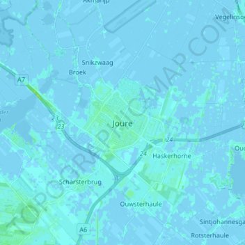
Name: Joure topographic map, elevation, terrain.
Location: Joure, Friesland, Nederland, 8501MH, Nederland (52.92443 5.76267 53.00443 5.84267)
Average elevation: 0 ft
Minimum elevation: -16 ft
Maximum elevation: 36 ft