
Olst topographic map
Interactive map
Click on the map to display elevation.
About this map
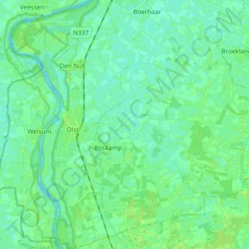
Name: Olst topographic map, elevation, terrain.
Location: Olst, Olst-Wijhe, Overijssel, Netherlands, The Netherlands (52.29763 6.07744 52.37954 6.18927)
Average elevation: 13 ft
Minimum elevation: -13 ft
Maximum elevation: 33 ft