
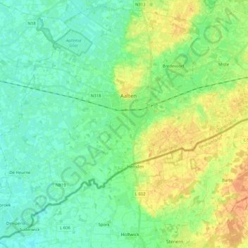
Aalten topographic map
Interactive map
Click on the map to display elevation.
About this map
Name: Aalten topographic map, elevation, terrain.
Location: Aalten, Gelderland, Netherlands, The Netherlands (51.85383 6.46434 51.97437 6.66873)
Average elevation: 92 ft
Minimum elevation: 52 ft
Maximum elevation: 154 ft