
Sanare topographic map
Interactive map
Click on the map to display elevation.
About this map
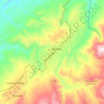
Name: Sanare topographic map, elevation, terrain.
Location: Sanare, Municipio Andrés Eloy Blanco, Lara, Venezuela (9.71089 -69.69467 9.79089 -69.61467)
Average elevation: 4,380 ft
Minimum elevation: 2,999 ft
Maximum elevation: 6,145 ft