
Calabozo topographic map
Interactive map
Click on the map to display elevation.
About this map
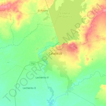
Name: Calabozo topographic map, elevation, terrain.
Location: Calabozo, Distrito Miranda, Guarico State, 2312, Venezuela (8.75839 -67.58412 9.07839 -67.26412)
Average elevation: 302 ft
Minimum elevation: 223 ft
Maximum elevation: 463 ft