
Pittem topographic map
Interactive map
Click on the map to display elevation.
About this map
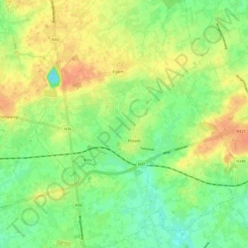
Name: Pittem topographic map, elevation, terrain.
Location: Pittem, Tielt, West Flanders, Flanders, 8740, Belgium (50.96446 3.22193 51.03541 3.31209)
Average elevation: 98 ft
Minimum elevation: 36 ft
Maximum elevation: 164 ft