
Moorslede topographic map
Interactive map
Click on the map to display elevation.
About this map
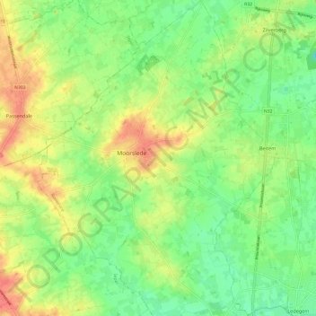
Name: Moorslede topographic map, elevation, terrain.
Location: Moorslede, Roeselare, West Flanders, Flanders, 8890, Belgium (50.85233 3.02733 50.92796 3.11764)
Average elevation: 98 ft
Minimum elevation: 23 ft
Maximum elevation: 190 ft