
Asse topographic map
Interactive map
Click on the map to display elevation.
About this map
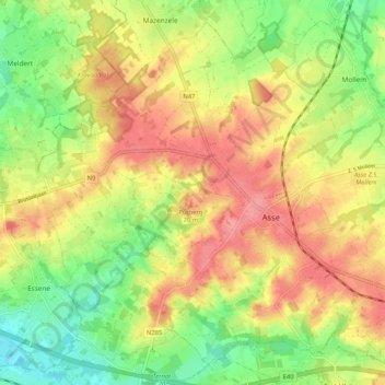
Name: Asse topographic map, elevation, terrain.
Location: Asse, Halle-Vilvoorde, Flemish Brabant, Flanders, Belgium (50.88453 4.13898 50.94266 4.24253)
Average elevation: 161 ft
Minimum elevation: 30 ft
Maximum elevation: 282 ft