
Brakel topographic map
Interactive map
Click on the map to display elevation.
About this map
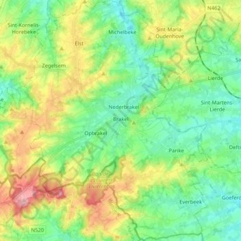
Name: Brakel topographic map, elevation, terrain.
Location: Brakel, Oost-Vlaanderen, Vlaanderen, België (50.74744 3.69917 50.84727 3.81992)
Average elevation: 226 ft
Minimum elevation: 72 ft
Maximum elevation: 528 ft