
Zele topographic map
Interactive map
Click on the map to display elevation.
About this map
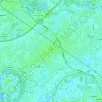
Name: Zele topographic map, elevation, terrain.
Location: Zele, Dendermonde, Oost-Vlaanderen, Vlaanderen, 9240, België (51.03212 3.97182 51.10236 4.09252)
Average elevation: 10 ft
Minimum elevation: -16 ft
Maximum elevation: 36 ft