
Kaggevinne topographic map
Interactive map
Click on the map to display elevation.
About this map
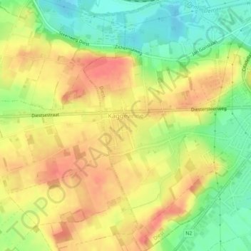
Name: Kaggevinne topographic map, elevation, terrain.
Average elevation: 125 ft
Minimum elevation: 36 ft
Maximum elevation: 220 ft
Other topographic maps
Click on a map to view its topography, its elevation and its terrain.
Deurne
België > Vlaanderen > Diest > Deurne
Deurne, Diest, Vlaams-Brabant, Vlaanderen, 3290, België
Average elevation: 85 ft