
Kedonganan topographic map
Interactive map
Click on the map to display elevation.
About this map
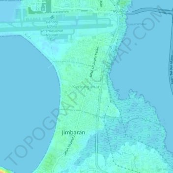
Name: Kedonganan topographic map, elevation, terrain.
Location: Kedonganan, Kuta, Bali, 80362, Indonesia (-8.78202 115.15542 -8.74202 115.19542)
Average elevation: 10 ft
Minimum elevation: -3 ft
Maximum elevation: 108 ft