
Deer Valley topographic map
Interactive map
Click on the map to display elevation.
About this map
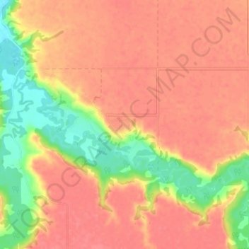
Name: Deer Valley topographic map, elevation, terrain.
Location: Deer Valley, Census Division No. 6, Saskatchewan, Canada (50.57200 -104.89879 50.61200 -104.85879)
Average elevation: 1,795 ft
Minimum elevation: 1,657 ft
Maximum elevation: 1,860 ft