
Bullenkuhlen topographic map
Interactive map
Click on the map to display elevation.
About this map
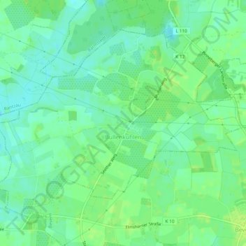
Name: Bullenkuhlen topographic map, elevation, terrain.
Location: Bullenkuhlen, Rantzau, Pinneberg, Schleswig-Holstein, Germany (53.75685 9.72442 53.77804 9.77086)
Average elevation: 33 ft
Minimum elevation: 10 ft
Maximum elevation: 49 ft