
Kyle topographic map
Interactive map
Click on the map to display elevation.
About this map
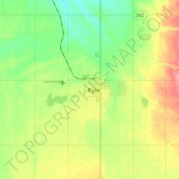
Name: Kyle topographic map, elevation, terrain.
Location: Kyle, Census Division No. 8, Saskatchewan, S0L 1T0, Canada (50.79002 -108.08353 50.87002 -108.00353)
Average elevation: 2,142 ft
Minimum elevation: 2,034 ft
Maximum elevation: 2,290 ft