
Kahani topographic map
Interactive map
Click on the map to display elevation.
About this map
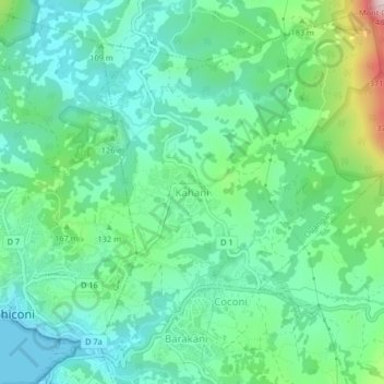
Name: Kahani topographic map, elevation, terrain.
Location: Kahani, Ouangani, Mayotte, 97670, France (-12.84392 45.11175 -12.80392 45.15175)
Average elevation: 364 ft
Minimum elevation: 0 ft
Maximum elevation: 1,453 ft