
Maden Mahallesi topographic map
Interactive map
Click on the map to display elevation.
About this map
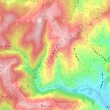
Name: Maden Mahallesi topographic map, elevation, terrain.
Location: Maden Mahallesi, Sarıyer, Istanbul, Marmara Region, Turkey (41.17219 29.01767 41.19207 29.05578)
Average elevation: 479 ft
Minimum elevation: 20 ft
Maximum elevation: 771 ft