
Rancho el alamo topographic map
Interactive map
Click on the map to display elevation.
About this map
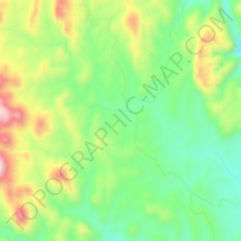
Name: Rancho el alamo topographic map, elevation, terrain.
Location: Rancho el alamo, Nacozari de García, Sonora, México (30.40167 -109.52383 30.44167 -109.48383)
Average elevation: 3,648 ft
Minimum elevation: 3,176 ft
Maximum elevation: 4,364 ft