
Bāgeshwar topographic map
Interactive map
Click on the map to display elevation.
About this map
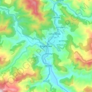
Name: Bāgeshwar topographic map, elevation, terrain.
Location: Bāgeshwar, Bageshwar, Uttarakhand, 263642, India (29.79760 79.73140 29.87760 79.81140)
Average elevation: 3,786 ft
Minimum elevation: 2,736 ft
Maximum elevation: 6,024 ft