
El Hamra topographic map
Interactive map
Click on the map to display elevation.
About this map
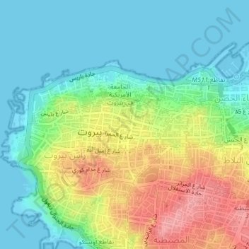
Name: El Hamra topographic map, elevation, terrain.
Location: El Hamra, Ras Beirut, Beirut Governorate, N/A, Lebanon (33.89393 35.47717 33.89945 35.48926)
Average elevation: 121 ft
Minimum elevation: -3 ft
Maximum elevation: 358 ft