
Khanot topographic map
Interactive map
Click on the map to display elevation.
About this map
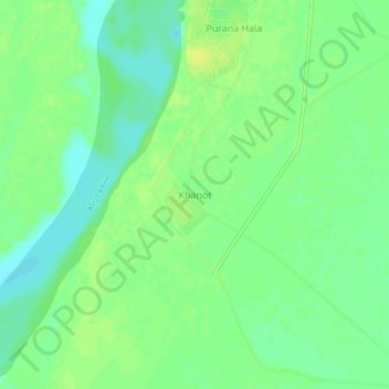
Name: Khanot topographic map, elevation, terrain.
Location: Khanot, Hyderābād District, Sindh, Pakistan (25.75635 68.36762 25.79635 68.40762)
Average elevation: 85 ft
Minimum elevation: 52 ft
Maximum elevation: 112 ft