
Kakamoeka topographic map
Interactive map
Click on the map to display elevation.
About this map
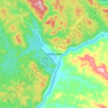
Name: Kakamoeka topographic map, elevation, terrain.
Location: Kakamoeka, Kouilou, Congo-Brazzaville (-4.17282 12.02043 -4.09282 12.10043)
Average elevation: 361 ft
Minimum elevation: 10 ft
Maximum elevation: 961 ft