
Tärendö topographic map
Interactive map
Click on the map to display elevation.
About this map
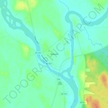
Name: Tärendö topographic map, elevation, terrain.
Location: Tärendö, Pajala kommun, Norrbotten County, Sweden (67.14730 22.60701 67.18730 22.64701)
Average elevation: 561 ft
Minimum elevation: 528 ft
Maximum elevation: 650 ft