
Sơn Trà District topographic map
Interactive map
Click on the map to display elevation.
About this map
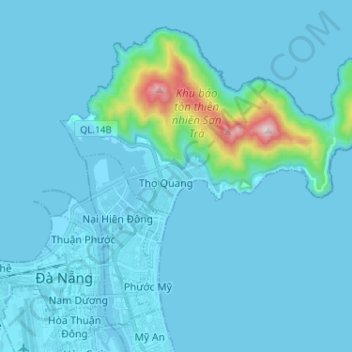
Name: Sơn Trà District topographic map, elevation, terrain.
Location: Sơn Trà District, Đà Nẵng, 02363, Vietnam (16.05099 108.21049 16.15565 108.33912)
Average elevation: 151 ft
Minimum elevation: -7 ft
Maximum elevation: 2,192 ft
Other topographic maps
Click on a map to view its topography, its elevation and its terrain.
Phường Thuận Phước
Phường Thuận Phước, Hải Châu District, Đà Nẵng, Vietnam
Average elevation: 10 ft