
Büyük Çakır topographic map
Interactive map
Click on the map to display elevation.
About this map
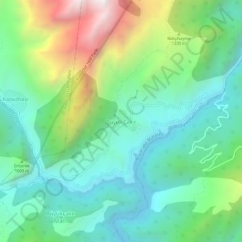
Name: Büyük Çakır topographic map, elevation, terrain.
Location: Büyük Çakır, Yahyalı, Kayseri, Central Anatolia Region, Turkey (37.75867 35.39196 37.79867 35.43196)
Average elevation: 3,291 ft
Minimum elevation: 1,916 ft
Maximum elevation: 6,614 ft