
Fifty-Six topographic map
Interactive map
Click on the map to display elevation.
About this map
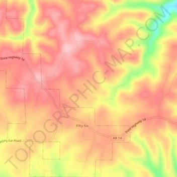
Name: Fifty-Six topographic map, elevation, terrain.
Location: Fifty-Six, Stone County, Arkansas, United States (35.94728 -92.24867 35.98381 -92.20796)
Average elevation: 833 ft
Minimum elevation: 459 ft
Maximum elevation: 1,001 ft