
Chauvin topographic map
Interactive map
Click on the map to display elevation.
About this map
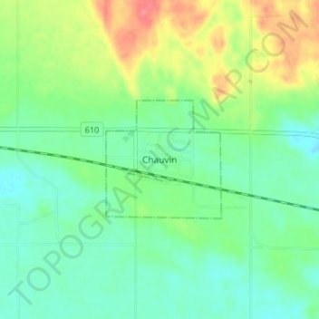
Name: Chauvin topographic map, elevation, terrain.
Location: Chauvin, Municipal District of Wainwright, Alberta, Canada (52.67392 -110.16384 52.71392 -110.12384)
Average elevation: 2,070 ft
Minimum elevation: 1,995 ft
Maximum elevation: 2,218 ft