
Taylor Mill topographic map
Interactive map
Click on the map to display elevation.
About this map
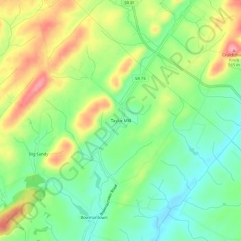
Name: Taylor Mill topographic map, elevation, terrain.
Location: Taylor Mill, Washington County, Tennessee, USA (36.29427 -82.59015 36.33427 -82.55015)
Average elevation: 1,588 ft
Minimum elevation: 1,424 ft
Maximum elevation: 1,824 ft