
Wren topographic map
Interactive map
Click on the map to display elevation.
About this map
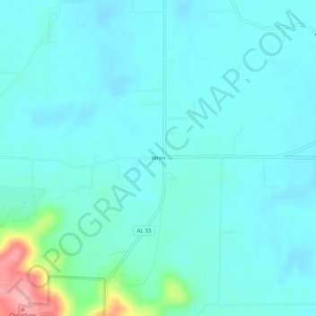
Name: Wren topographic map, elevation, terrain.
Location: Wren, Lawrence County, Alabama, USA (34.41426 -87.31363 34.45426 -87.27363)
Average elevation: 696 ft
Minimum elevation: 633 ft
Maximum elevation: 1,043 ft