
Namsan-dong topographic map
Interactive map
Click on the map to display elevation.
About this map
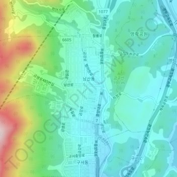
Name: Namsan-dong topographic map, elevation, terrain.
Location: Namsan-dong, Geumjeong-gu, Busan, South Korea (35.25675 129.06046 35.27589 129.09826)
Average elevation: 443 ft
Minimum elevation: 95 ft
Maximum elevation: 1,532 ft