
Maxglan topographic map
Interactive map
Click on the map to display elevation.
About this map
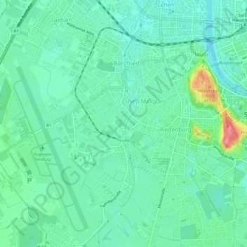
Name: Maxglan topographic map, elevation, terrain.
Location: Maxglan, Salzburg, 5020, Austria (47.77954 12.99324 47.81411 13.03000)
Average elevation: 1,414 ft
Minimum elevation: 1,342 ft
Maximum elevation: 1,644 ft
Other topographic maps
Click on a map to view its topography, its elevation and its terrain.