
Lehar topographic map
Interactive map
Click on the map to display elevation.
About this map
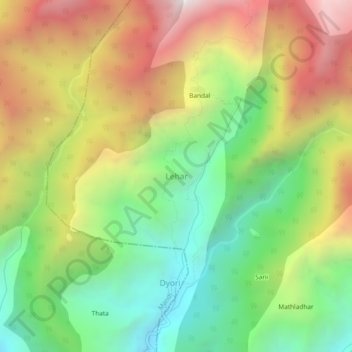
Name: Lehar topographic map, elevation, terrain.
Location: Lehar, Mandi, Himachal Pradesh, India (31.71085 77.06512 31.75085 77.10512)
Average elevation: 6,171 ft
Minimum elevation: 3,825 ft
Maximum elevation: 9,163 ft