
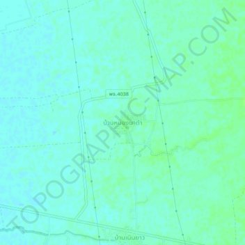
Ban Nong Na Dam topographic map
Interactive map
Click on the map to display elevation.
About this map
Name: Ban Nong Na Dam topographic map, elevation, terrain.
Location: Ban Nong Na Dam, Phichit Province, Thailand (16.33343 100.42820 16.37343 100.46820)
Average elevation: 121 ft
Minimum elevation: 108 ft
Maximum elevation: 135 ft