
Château du Val d'Auray (ou d'Aulnay) topographic map
Interactive map
Click on the map to display elevation.
About this map
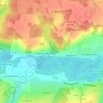
Name: Château du Val d'Auray (ou d'Aulnay) topographic map, elevation, terrain.
Average elevation: 233 ft
Minimum elevation: 128 ft
Maximum elevation: 348 ft