
Mouli topographic map
Interactive map
Click on the map to display elevation.
About this map
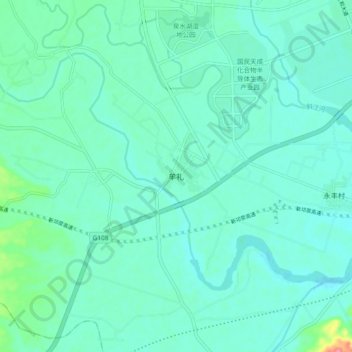
Name: Mouli topographic map, elevation, terrain.
Location: Mouli, Qionglai City, Chengdu City, Sichuan, PRC (30.31212 103.62862 30.39212 103.70862)
Average elevation: 1,545 ft
Minimum elevation: 1,493 ft
Maximum elevation: 1,804 ft