
Ehalagala topographic map
Interactive map
Click on the map to display elevation.
About this map
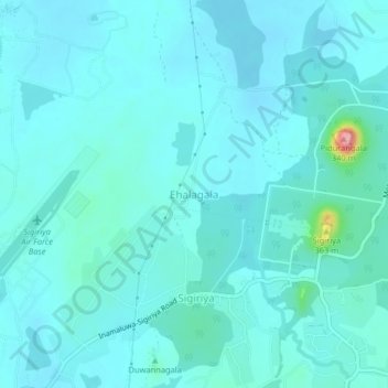
Name: Ehalagala topographic map, elevation, terrain.
Location: Ehalagala, Matale District, Central Province, 12120, Sri Lanka (7.94048 80.72613 7.98048 80.76613)
Average elevation: 646 ft
Minimum elevation: 597 ft
Maximum elevation: 1,050 ft