
Yamagata County topographic map
Interactive map
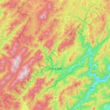
Click on the map to display elevation.
About this map
Name: Yamagata County topographic map, elevation, terrain.
Average elevation: 2,218 ft
Minimum elevation: 325 ft
Maximum elevation: 4,341 ft
Other topographic maps
Click on a map to view its topography, its elevation and its terrain.
Nagashima Island
Japan > Chugoku Region > Iwakuni
Nagashima Island, Iwakuni, Yamaguchi Prefecture, Chugoku Region, Japan
Average elevation: 0 ft