
Yeongdo-gu topographic map
Interactive map
Click on the map to display elevation.
About this map
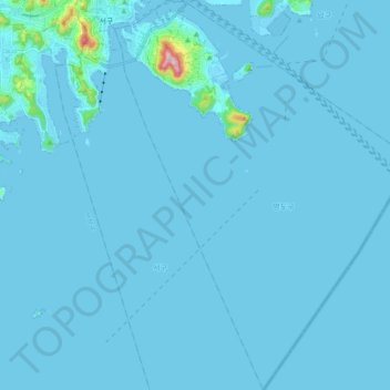
Name: Yeongdo-gu topographic map, elevation, terrain.
Location: Yeongdo-gu, Busan, South Korea (34.94944 129.02808 35.10532 129.17411)
Average elevation: 30 ft
Minimum elevation: -13 ft
Maximum elevation: 1,181 ft
Other topographic maps
Click on a map to view its topography, its elevation and its terrain.
Jangan-eup
South Korea > Busan > Jangan-eup
Jangan-eup, Gijang-gun, Busan, 46036, South Korea
Average elevation: 374 ft
Daejeo-dong
South Korea > Busan > Daejeo-dong
Daejeo-dong, Gangseo-gu, Busan, South Korea
Average elevation: 171 ft
Jangjeon-dong
South Korea > Busan > Jangjeon-dong
Jangjeon-dong, Geumjeong-gu, Busan, South Korea
Average elevation: 400 ft