
Thörl topographic map
Interactive map
Click on the map to display elevation.
About this map
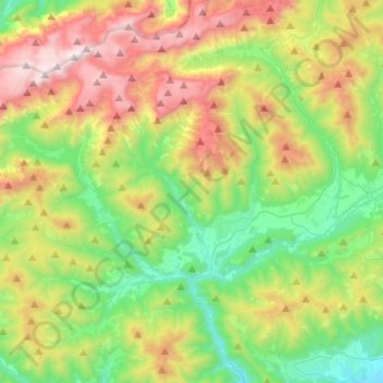
Name: Thörl topographic map, elevation, terrain.
Location: Thörl, Bruck-Mürzzuschlag, Steiermark, 8621, Österreich (47.48175 15.05430 47.63522 15.30606)
Average elevation: 3,835 ft
Minimum elevation: 1,785 ft
Maximum elevation: 7,398 ft