
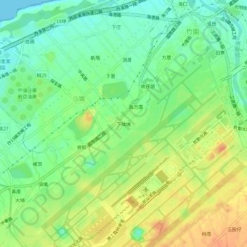
竹圍里 topographic map
Interactive map
Click on the map to display elevation.
About this map
Name: 竹圍里 topographic map, elevation, terrain.
Location: 竹圍里, Xiapodu, Dayuan District, Taoyuan, 33758, TW (25.06995 121.21059 25.10995 121.25059)
Average elevation: 59 ft
Minimum elevation: 0 ft
Maximum elevation: 128 ft