
Naka District topographic map
Interactive map
Click on the map to display elevation.
About this map
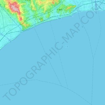
Name: Naka District topographic map, elevation, terrain.
Location: Naka District, Kanagawa Prefecture, Japan (35.14875 139.23293 35.33444 139.36269)
Average elevation: 43 ft
Minimum elevation: -7 ft
Maximum elevation: 1,033 ft
Other topographic maps
Click on a map to view its topography, its elevation and its terrain.
Enoshima
Japan > Kanagawa Prefecture > Fujisawa
Enoshima, Fujisawa, Kanagawa Prefecture, Kanto, 251-0036, Japan
Average elevation: 7 ft