
Blue Bell topographic map
Interactive map
Click on the map to display elevation.
About this map
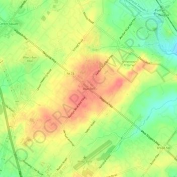
Name: Blue Bell topographic map, elevation, terrain.
Average elevation: 292 ft
Minimum elevation: 187 ft
Maximum elevation: 377 ft
Other topographic maps
Click on a map to view its topography, its elevation and its terrain.
Mount Pleasant
United States > Pennsylvania > Montgomery County > Whitpain Township
Mount Pleasant, Whitpain Township, Montgomery County, Pennsylvania, 19002, United States
Average elevation: 256 ft