
Żary topographic map
Interactive map
Click on the map to display elevation.
About this map
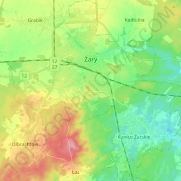
Name: Żary topographic map, elevation, terrain.
Location: Żary, Żary County, Lubusz Voivodeship, Poland (51.58490 15.08293 51.66420 15.20796)
Average elevation: 528 ft
Minimum elevation: 397 ft
Maximum elevation: 758 ft