
La Rasse topographic map
Interactive map
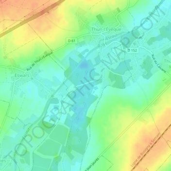
Click on the map to display elevation.
About this map
Name: La Rasse topographic map, elevation, terrain.
Average elevation: 164 ft
Minimum elevation: 112 ft
Maximum elevation: 246 ft
Other topographic maps
Click on a map to view its topography, its elevation and its terrain.
Escaut
France > Hauts-de-France > Thun-l'Évêque
Escaut, Thun-l'Évêque, Cambrai, Nord, Hauts-de-France, France métropolitaine, 59141, France
Average elevation: 167 ft