
La Guama topographic map
Interactive map
Click on the map to display elevation.
About this map
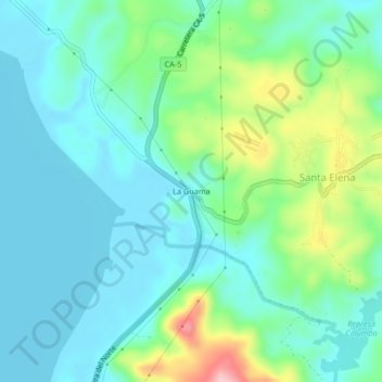
Name: La Guama topographic map, elevation, terrain.
Location: La Guama, Santa Cruz de Yojoa, Cortés, Honduras (14.86949 -87.95835 14.90949 -87.91835)
Average elevation: 2,234 ft
Minimum elevation: 2,083 ft
Maximum elevation: 2,707 ft