
Beas Kund topographic map
Interactive map
Click on the map to display elevation.
About this map
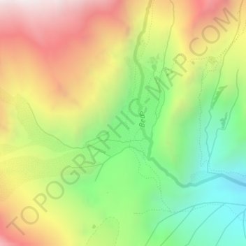
Name: Beas Kund topographic map, elevation, terrain.
Location: Beas Kund, Dhundi, Kullu, Himachal Pradesh, India (32.35039 77.07149 32.37039 77.09149)
Average elevation: 12,441 ft
Minimum elevation: 10,636 ft
Maximum elevation: 14,524 ft