
Kaisergebirge (Naturschutzgebiet) topographic map
Interactive map
Click on the map to display elevation.
About this map
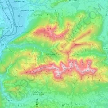
Name: Kaisergebirge (Naturschutzgebiet) topographic map, elevation, terrain.
Average elevation: 3,301 ft
Minimum elevation: 1,512 ft
Maximum elevation: 7,585 ft
Other topographic maps
Click on a map to view its topography, its elevation and its terrain.
Kufstein
Österreich > Tirol > Kufstein
Kufstein, Bezirk Kufstein, Tirol, 6330, Österreich
Average elevation: 2,379 ft