
Zamość topographic map
Interactive map
Click on the map to display elevation.
About this map
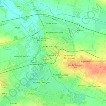
Name: Zamość topographic map, elevation, terrain.
Location: Zamość, Lublin Voivodeship, Poland (50.69242 23.19024 50.75038 23.30679)
Average elevation: 699 ft
Minimum elevation: 646 ft
Maximum elevation: 794 ft