
Shelti topographic map
Interactive map
Click on the map to display elevation.
About this map
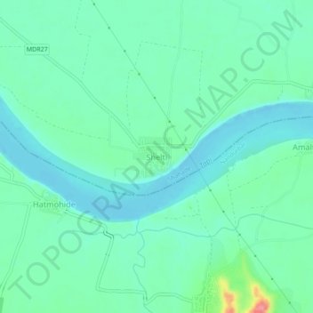
Name: Shelti topographic map, elevation, terrain.
Location: Shelti, Nandubar, Maharashtra, India (21.42274 74.40120 21.46274 74.44120)
Average elevation: 400 ft
Minimum elevation: 338 ft
Maximum elevation: 620 ft