
Vilama küla topographic map
Interactive map
Click on the map to display elevation.
About this map
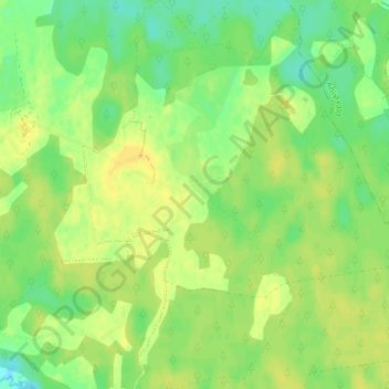
Name: Vilama küla topographic map, elevation, terrain.
Location: Vilama küla, Vilama, Kose vald, Harju maakond, Estonia (59.18049 25.27334 59.22049 25.31334)
Average elevation: 226 ft
Minimum elevation: 184 ft
Maximum elevation: 259 ft